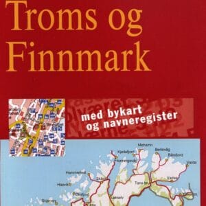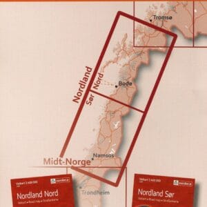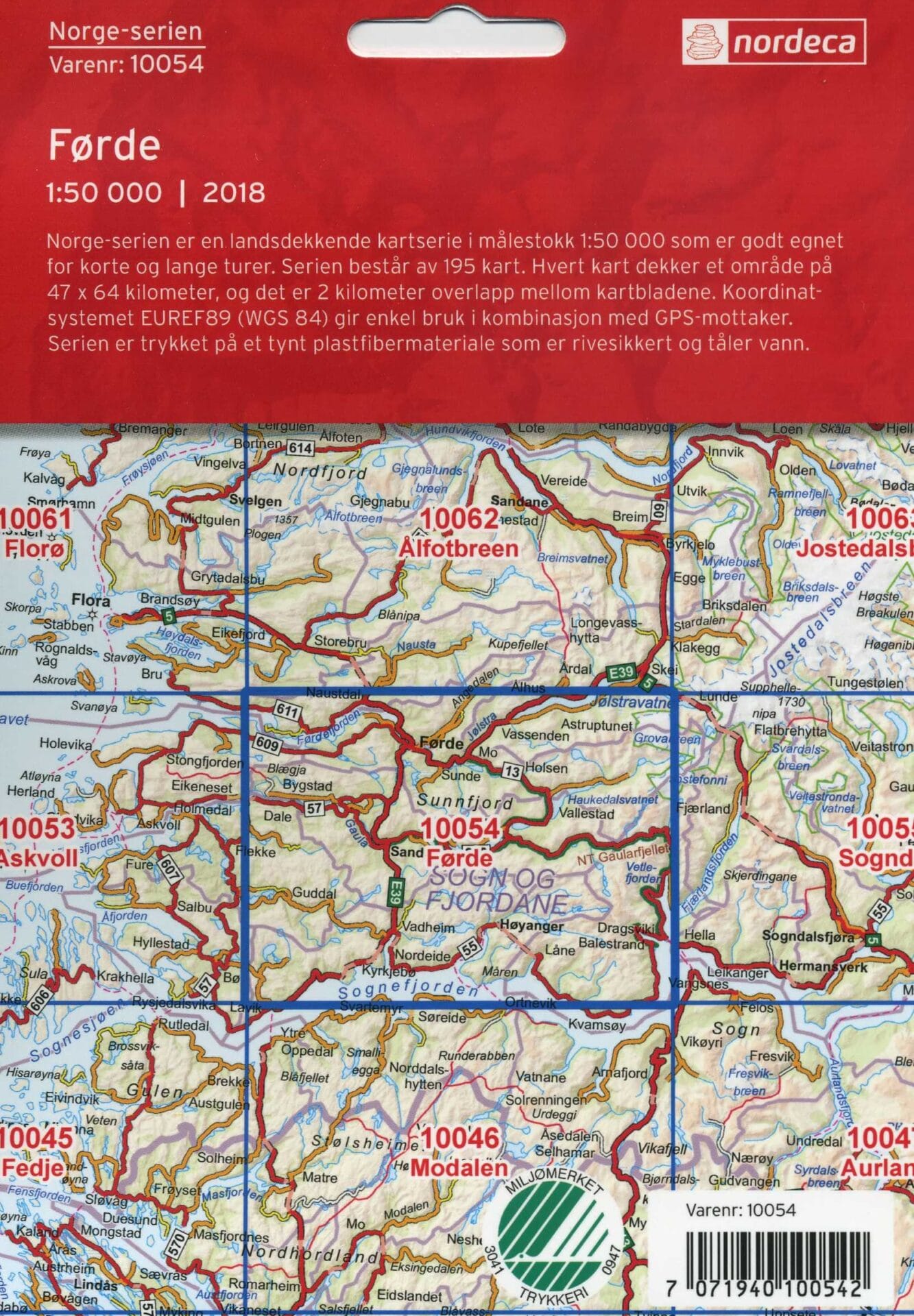
The Norwegian topographic maps are the most detailed map series for Norway. A total of 195 maps covering all of Norway show the location of individual farms and churches. Each map covers an area of 47 x 64 kilometers and is on the scale of 1:50,000.
Please contact NAGC or fill out this form to order a map and for pricing information, as it is necessary to have the Norwegian fylke, kommune, parish, and farm name to obtain the correct map.